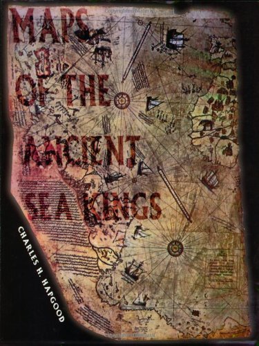
Maps of the Ancient Sea Kings
$19.95
By Charles H. Hapgood, Reprint 1998
The eastern shores of South America and Antarctica beneath its ice cap were accurately mapped more than 3,000 years ago by an unknown civilization. The full story of the Piri Re-is Map. Softcover, illustrated, originally released in 1947, 316 pages.


